
Northumberland Road Trip Map
Northumberland Road Trip Map: Inland 250, Hadrian’s Wall & Coast
Looking for a Northumberland road trip map? Our route brings together the quieter inland landscapes many people associate with the Northumberland 250 and the dramatic Castles & Coast shoreline into one flexible self-drive journey.
The route moves through hidden valleys, upland scenery, Kielder and the landscapes around Hadrian’s Wall before continuing east towards Northumberland’s castles, beaches, fishing villages and Holy Island.
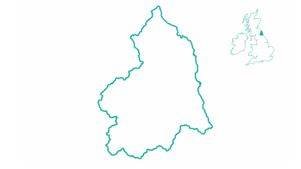
Use the map to understand the scope of the journey and how inland Northumberland connects with the coast, then use the full Uncover Britain guide to choose which stops, scenic sections, attractions and detours are worth including in your trip.
The route explained
What Does Our Northumberland Road Trip Route Cover?
Our Northumberland driving route is designed in two connected parts.
The first explores inland Northumberland — quieter landscapes of valleys, hills, National Park scenery, Kielder and the Roman frontier. This side of the county often feels more spacious and remote, and gives the road trip much of its character.
The second follows the county’s better-known eastern side, where castles, beaches, historic settlements and big coastal scenery create the classic Northumberland Castles & Coast experience.
A Northumberland route map makes it much easier to see how these two very different sides of the county can work together in one road trip rather than planning them as separate breaks.
Explore the journey
See How the Northumberland Road Trip Fits Together
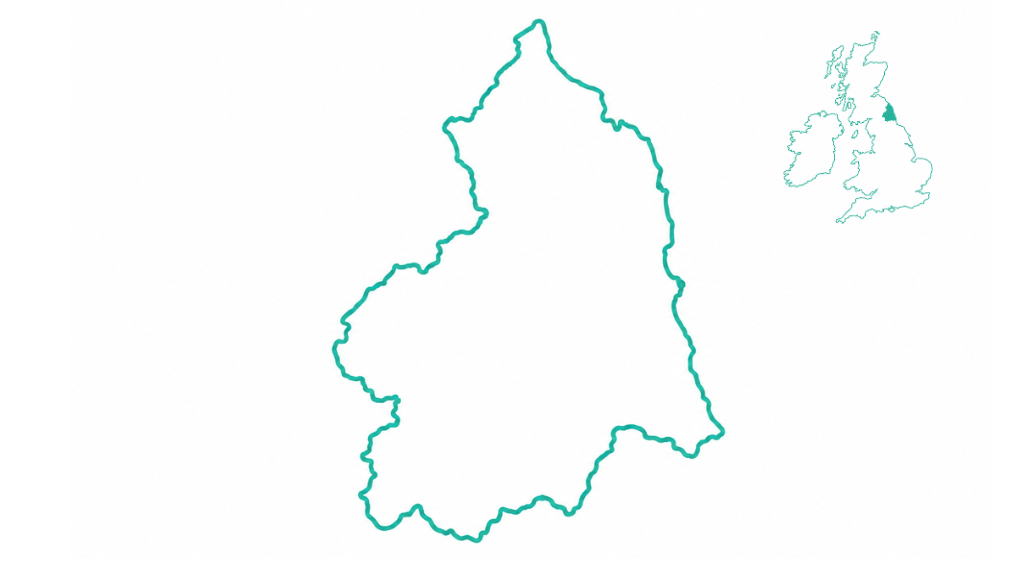
The journey is split into two broad sections, making it easy to understand the scope of the route and how the inland landscapes connect with Northumberland’s coast.
 Amble
Alnwick
Rothbury
Harbottle
Simonside
Kielder Water
Bellingham
Hexham
Warkworth
Dunstanburgh
Craster
Seahouses
Bamburgh
Holy Island
Berwick-upon-Tweed
Amble
Alnwick
Rothbury
Harbottle
Simonside
Kielder Water
Bellingham
Hexham
Warkworth
Dunstanburgh
Craster
Seahouses
Bamburgh
Holy Island
Berwick-upon-Tweed
Understand the scope of the journey
This map gives you an idea of the scope of the journey and how inland Northumberland connects with the coast. The full guide adds the detail needed to plan the trip properly.
- Which places are worth stopping for
- How the inland and coastal sections connect
- Scenic sections worth allowing extra time for
- Optional detours and deeper exploration
- Ideas for different trip lengths
- Attractions, walks and experiences
Two sides of Northumberland
The Broad Route Sections
Inland Northumberland and the coast have very different characters, which is what makes combining them into one journey so rewarding.
Inland Northumberland & 250 Landscapes
The inland section introduces a quieter, less obvious side of Northumberland, with scenic valleys, upland landscapes, National Park country, Kielder and the wider setting around Hadrian’s Wall.
It is the part of the county many travellers miss if they head directly for the coast, and provides a strong contrast to the shoreline that follows.
Castles & Coast
The coastal section brings together the Northumberland many visitors recognise: dramatic castles, open beaches, fishing villages, big skies and the tidal landscape around Holy Island.
It delivers the classic Northumberland scenery, while the full guide helps you decide how the individual places and experiences fit into your trip.
Northumberland 250
How Does This Route Connect With the Northumberland 250?
People researching a Northumberland 250 route map are often looking for a way to connect Northumberland’s quieter inland scenery into a practical driving holiday.
The Uncover Britain journey includes inland landscapes associated with the Northumberland 250, but it is not the official Northumberland 250 map and does not simply reproduce that route.
Instead, our wider Northumberland road trip connects inland valleys, National Park scenery, Kielder and Hadrian’s Wall with the Castles & Coast shoreline, creating a flexible journey through both hidden and classic Northumberland.
Go beyond the map
Turn the Route Into a Workable Road Trip
A route overview helps you understand the geography and scale of the journey. Planning the actual road trip requires more detail.
The full Northumberland guide is designed to help you choose what to include, how to pace the journey and where it is worth spending more time.
Inside the full Northumberland guide
- Approx. 222-mile flexible route
- Inland route + Castles & Coast
- Route chapters and planning maps
- Destination highlights
- Scenic road moments
- Optional spurs and detours
- Ideas for shorter and longer trips
- Mobile-friendly digital access
Choose your pace
How Many Days Do You Need for a Northumberland Road Trip?
The route is flexible enough for a shorter coastal break or a slower journey through both inland and coastal Northumberland.
2–3 days
Focus on Castles & Coast for a shorter trip built around beaches, coastal villages and iconic castles.
3–5 days
Add part of the inland journey for National Park scenery, Kielder and Hadrian’s Wall.
5–7 days
Follow the wider route at a more comfortable pace with time for scenic stops and selected detours.
8–14+ days
Slow the journey down with longer walks, heritage visits, wildlife experiences and deeper exploration.
Route geography
Places Connected With Our Northumberland Road Trip
These places and landscapes give a broad sense of the journey without replacing the detailed route planning inside the full guide.
More Northumberland inspiration
Continue Planning Your Northumberland Road Trip
Explore related Northumberland content while you decide how the wider road trip should fit together.
Quick answers
Northumberland Road Trip Map FAQs
Can I see a Northumberland road trip route on a map?
Yes. This page shows the broad structure of our Northumberland road trip, combining the quieter inland section with the Castles & Coast shoreline.
Is this the official Northumberland 250 route map?
No. This is an Uncover Britain road trip map showing our wider Northumberland journey. It includes inland landscapes associated with the Northumberland 250 but also connects them with Kielder, Hadrian’s Wall and the Northumberland coast.
Does the Northumberland road trip include Hadrian’s Wall?
Yes. The inland part of the journey includes the wider Roman frontier landscapes around Hadrian’s Wall before the road trip continues towards coastal Northumberland.
Does the route include Holy Island?
Yes. Holy Island forms part of the wider Castles & Coast section, alongside Northumberland’s castles, beaches and coastal settlements.
How long is the Northumberland road trip?
The complete Uncover Britain route covers approximately 222 miles, or 357 kilometres, although individual sections can be used for a shorter road trip.
How many days do you need for a Northumberland road trip?
A shorter coastal trip can work in two to three days, while five to seven days gives a better pace for combining inland Northumberland, Kielder, Hadrian’s Wall and the Castles & Coast section.
What does the full Northumberland guide add to the map?
The map provides an overview of the route and its geography. The full guide adds route chapters, destination information, scenic sections, planning maps, highlights, itinerary ideas and optional spurs to help you build your own trip.
Turn the Northumberland Map Into Your Road Trip
See how inland Northumberland and the Castles & Coast fit together, then use the full Northumberland Road Trip Guide to choose the places, scenic sections and experiences that make the journey your own.