
Uncover Britain · Peak District road trip
Peak District Road Trip: White Peak & Hope Valley
Explore limestone dales, market towns, gritstone edges and some of England’s most memorable scenic drives, with free interactive maps or a complete £6.99 downloadable guide.
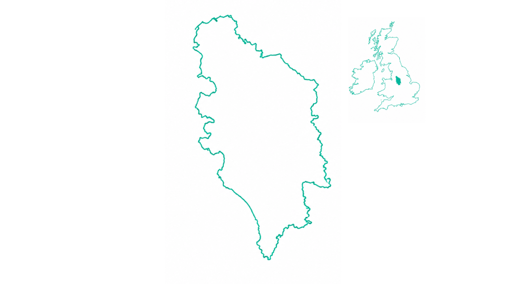
Why explore the Peak District by road?
Two contrasting landscapes sit remarkably close together. The White Peak is known for limestone valleys, rivers and stone-built villages; the Hope Valley and Dark Peak edge introduce gritstone ridges, dramatic viewpoints and upland routes. A flexible journey makes room for village stops, short walks and longer days out.
3–7 days
Flexible touring rather than a strict fixed loop.
Two scenic chapters
White Peak Region and Hope Valley & Dark Peak Edge.
Seven scenic drives
Choose moorland passes and reservoir valleys to suit conditions.
Two contrasting chapters
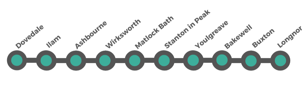
1. White Peak Region
52 miles · approximately 2 hours 15 minutes driving, excluding stops and detours
Dovedale · Ilam · Ashbourne · Wirksworth · Matlock Bath · Stanton in Peak · Youlgreave · Bakewell · Buxton · Longnor
Open Google Maps route
2. Hope Valley & Dark Peak Edge
16 miles · approximately 45 minutes driving, excluding stops and detours
Eyam · Hathersage · Castleton · Winnats Pass · Mam Tor · Edale
Open Google Maps routeInteractive Peak District route map
Explore the White Peak, Hope Valley and scenic additions. The map requires an internet connection.
Some memorable places along the route
Dovedale
Limestone valley walks and stepping stones beside the River Dove.
Bakewell
Market town, riverside walks and nearby Chatsworth and Haddon Hall.
Buxton
Spa-town architecture and Poole’s Cavern.
Eyam
Historic plague village with upland walking nearby.
Castleton
Show caves, Peveril Castle and the Hope Valley.
Mam Tor
High-level viewpoints and the Great Ridge walk.
When to go and how long to stay
Late spring & early summer
Longer days, greener dales and good opportunities for walks.
Summer
Popular attractions and viewpoints are busier, particularly at weekends and during school holidays.
Autumn
Woodland colours and atmospheric landscapes; daylight shortens later in the season.
Winter & early spring
Conditions on exposed roads and high paths may be hazardous. Keep plans flexible.
Choose your Peak District guide
Free sign-up
Interactive route maps
Full Peak District overview, chapter maps and general route information, accessed online.
The Squarespace sign-up opens on the published website when the pricing plan is available.
One-off purchase
Peak District complete PDF guide
More destination detail, suggested stops, practical information and a PDF to download and save for future use.
The Squarespace checkout opens on the published website when the pricing plan is available.
Payment is for the downloadable PDF, not indefinite access to a hosted webpage. No future updates are included.
Peak District road trip FAQs
How many days do I need?
Three to seven days works well for a flexible trip. Two or three days can cover a selection of highlights.
Where should I start?
Dovedale or Ashbourne works well for the White Peak. Bakewell and Buxton are also useful bases.
What do the free maps include?
The full map, route locations and chapter links, rather than detailed destination descriptions.
Does the PDF purchase include future updates?
No. Save the downloadable guide to your device. Updates and permanent hosted access are not included.