
Kent Coast Maps & Route Overview
Welcome to your Kent Coast route collection. Browse the three illustrated sections, open the full journey in Google Maps, or follow one coastal section at a time. Use the maps to explore and adapt your driving route.
The Kent Coast at a glance
The complete route runs through cathedral heritage, oyster harbours, Thanet’s beaches and the White Cliffs, finishing on the shingle coast at Dungeness.
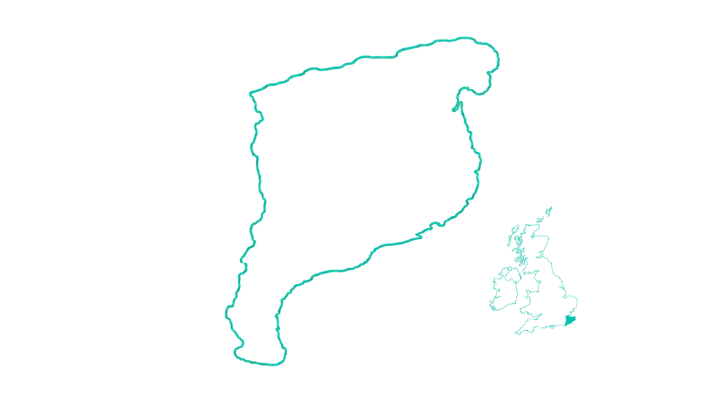
Illustrative map, not to scale. Open Google Maps for navigation.
Explore the three coastal sections
Each map is for illustration only. The Google Maps links below open the routes, where you can explore stops and adjust your journey.
Canterbury & the Oyster Coast

Cathedral city heritage, working harbours and easy-going seaside stops.
Canterbury · Whitstable · Tankerton Slopes · Herne Bay
About 13 miles · around 45 minutes driving — indicative, without stops
Thanet Cliffs, Viking Bay & Botany Bay

Sandy bays, chalk cliffs and the character of Kent’s seaside towns.
Margate · Botany Bay · Kingsgate Bay · Broadstairs · Ramsgate
About 22 miles · around 1 hour 10 minutes driving — indicative, without stops
White Cliffs, Castles & the Cinque Ports
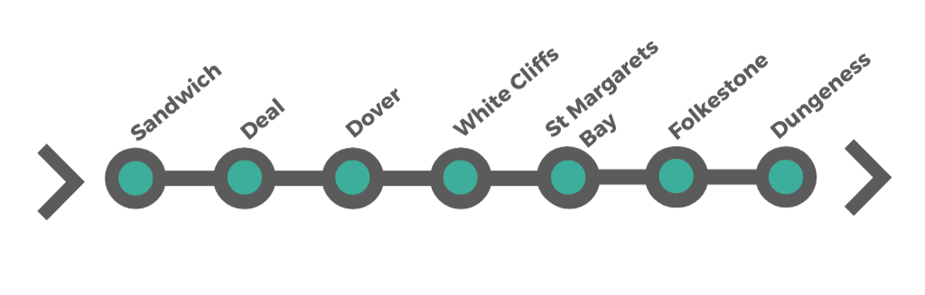
Historic ports, coastal fortifications, chalk landscapes and the remarkable shingle coast.
Sandwich · Deal · Dover · White Cliffs · St Margaret’s Bay · Folkestone · Dungeness
About 58 miles · around 2 hours 15 minutes driving — indicative, without stops
When to travel & how long to take
Kent changes character with the seasons, from lively harbour towns and summer beaches to windswept cliffs and quieter historic streets. Choose the atmosphere that suits your trip.
Late spring to early summer · May–June
Best for: Mild weather, coastal walks and fewer crowds. Fresh green landscapes, cliff-top wildflowers and comfortable walking conditions make this a rewarding time to explore.
Summer · July–August
Best for: Beaches, seaside towns and long days. Whitstable, Broadstairs and Margate are lively, but popular areas can become busy, particularly at weekends.
Early autumn · September–October
Best for: Quieter travel, softer coastal light and local food. As summer crowds ease, the coastline feels more open and ideal for relaxed exploration.
Winter & early spring · November–April
Best for: Dramatic coastal scenery and peaceful historic towns. Prepare for brisk winds, shorter days and seasonal changes to attraction opening times.
How long do you need?
Driving time across the route is relatively short — approximately 3–4 hours without stops — but Kent is best explored slowly.
1–2 days: a few highlights
2–4 days: a short coastal break
4–5 days: comfortable pace
5–7+ days: more time to explore
A note on pace
The real highlights are often found between destinations: a harbour stop, a beach walk or an unexpected historic town. Allow extra time for attractions, parking, meals and tides.
Always check road conditions, opening hours and coastal weather before setting off.
Make your Kent Coast road trip your own
These free maps help you navigate. Our complete Kent Coast guide adds the destination detail and print-friendly tools to plan what to do at each stop.
- Full information across 16 destinations
- Attractions, heritage and local discoveries
- Detailed walking itineraries
- Practical visitor guidance
- Choose which destinations to include
- Print your personalised guide or save it as a PDF
£6.99 one-off purchase
Explore the complete £6.99 guide ↗The full guide is a separate paid product. Your free route maps are available here in your member area.
Uncover Britain · Plan your route, then explore at your own pace.